NEW
Virtual fences in communal grazing areas: the challenge of innovation in land-use planning and governance
23 September 2026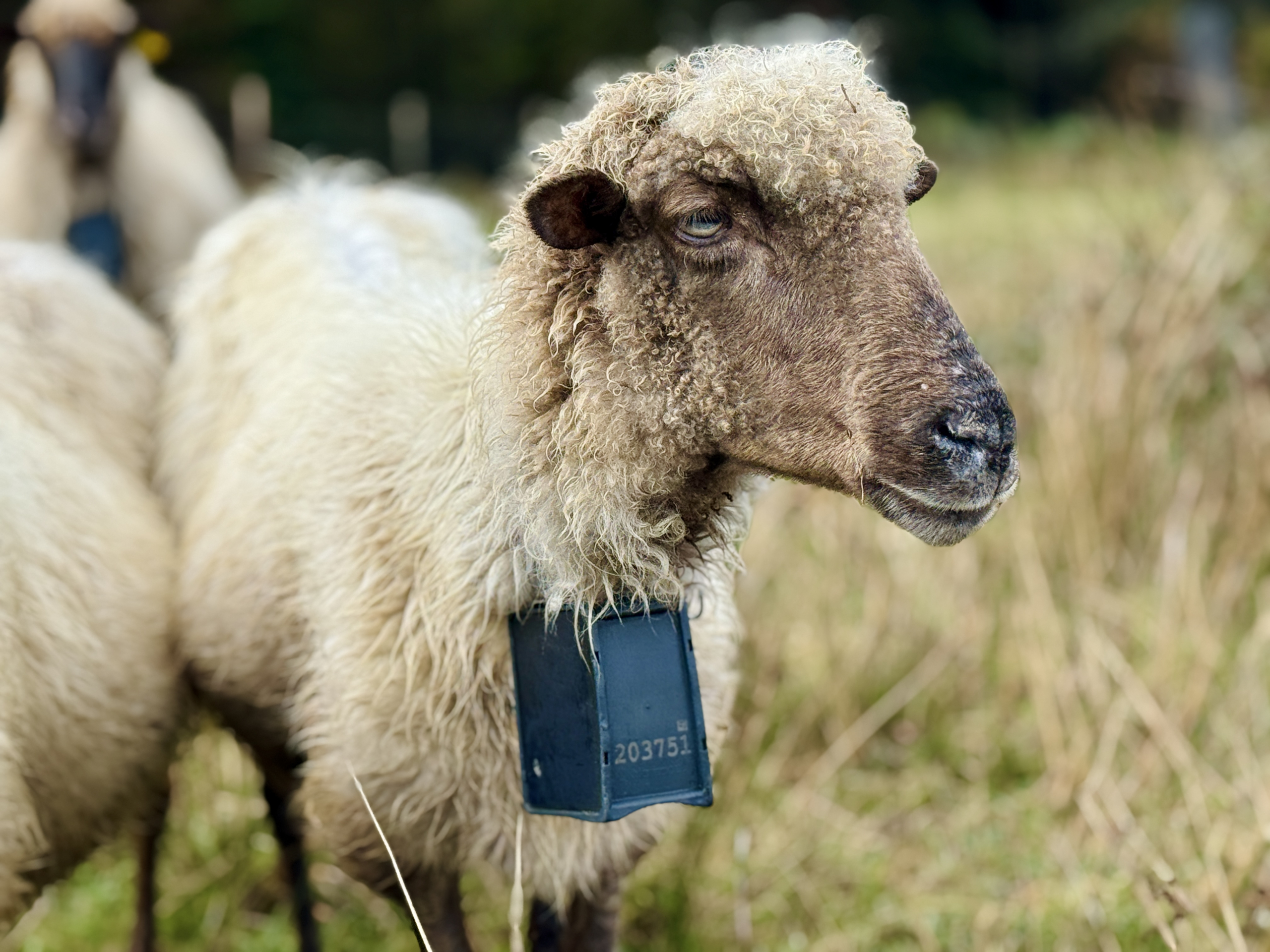
- As part of the GREENCOOP project, NEIKER is assessing the potential of virtual fencing as a digital tool for landscape management and conservation in areas of communal extensive grazing within the Gorbeia Special Area of Conservation (SAC)
Rural areas in the European Union account for 83 per cent of the territory and play a vital role in the conservation of landscapes and ecosystem services. However, they face a growing risk of abandonment linked, amongst other factors, to the ageing of the farming population and the lack of a new generation of farmers. The loss of traditional land uses encourages the spread of scrub and the accumulation of biomass, altering the mosaic of habitats and increasing vulnerability to disturbances such as fires.
Maintaining active management of rural areas is key to creating landscapes that are more diverse, resilient and capable of adapting to the effects of climate change. Virtual fencing can provide a new means of managing grazing in space and time, without the need to install physical barriers. Thus, the real challenge lies not merely in having this technology at our disposal, but in learning to use it to achieve specific land management objectives and to accompany it with innovation in governance, integrating it into the organisational frameworks of communal grazing systems where multiple stakeholders, administrative bodies and livestock farmers share the same space.
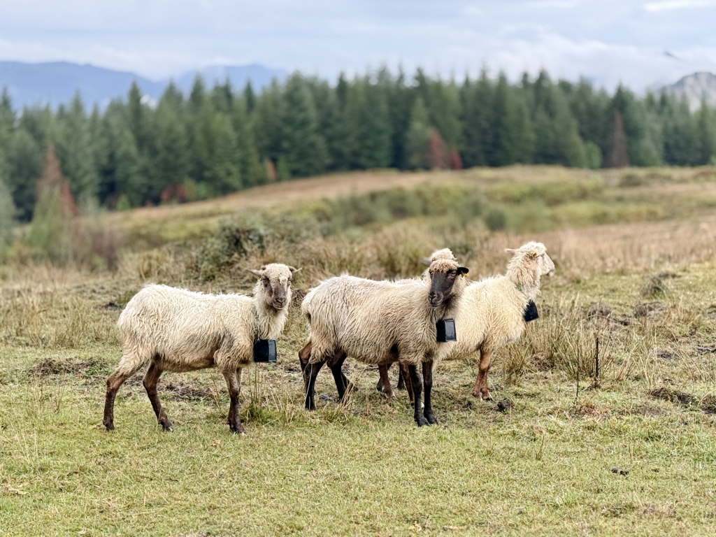
In this context, the NEIKER technology centre, in collaboration with the University of Santiago de Compostela, is coordinating the workstream on territorial connectivity within the European GREENCOOP project. Activities in the Basque Country are being carried out at the Living Lab in the Gorbeia Special Area of Conservation; specifically, those relating to virtual fencing are centred on the Larreder grazing area (Areatza, Bizkaia).
Adaptation to local management and community governance
The system uses collars fitted with GPS, motion sensors and an alert system that allows virtual perimeters to be set via a mobile app. After a training period, the animals associate the audible alert with the established boundaries and alter their path, gradually reducing the need to apply electrical stimuli.
This ability to adjust the boundaries of grazing areas allows virtual enclosures to be designed and activated or deactivated according to management needs and changes in vegetation and soil dynamics.
Thus, the virtual fencing can be used, for example, to temporarily protect areas containing habitats or species of ecological interest, to promote the regeneration of forested areas, or to prevent livestock from accessing certain areas during sensitive periods. Similarly, it can help to increase the success of measures linked to livestock management, such as clearing, the establishment of water points or infrastructure improvements, by ensuring the livestock’s presence. The tool also opens up the possibility of spatial and temporal planning of silvopastoral management, adapting the intensity and timing of grazing to the characteristics of each area and the established objectives.
“The challenge is not simply to use a virtual fence to track the animals’ whereabouts, but to utilise the information and the ability to demarcate areas that it provides in order to manage the land more effectively. The ultimate aim is to determine under what conditions, for what purposes and through which management strategies the virtual fence can offer added value compared to conventional management tools,” says Isabel Albizu, a researcher in NEIKER’s Department of Natural Resource Conservation.
“In this way, grazing can move from being viewed solely as a productive activity to being integrated into a broader strategy of multifunctional land management, simultaneously contributing to livestock production, fire prevention, biodiversity conservation and the maintenance of ecosystem services,” adds the researcher.
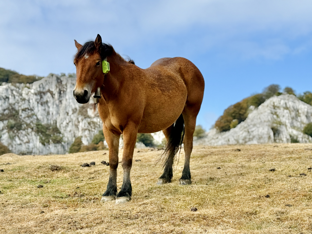
Comparative assessment in the Larreder trial
To assess this potential, a trial has been designed in the Larreder grazing area to compare different management strategies. Exclusion plots have been established, where livestock are prevented from entering; plots subject to mechanical clearing; extensive grazing plots, where a virtual fence demarcates an area for continuous use; and rotational grazing plots, where different virtual sub-plots are designed and are successively activated and deactivated to direct the livestock.
Throughout the experiment, the research team is assessing key indicators such as changes in shrub cover, the recovery of herbaceous pasture, the distribution of dung, and plant biodiversity. At the same time, the project pays particular attention to animal welfare, analysing the herd’s movement patterns, their social interactions, learning times and the relationship between audible alerts and the stimuli applied to ensure respectful and safe management.
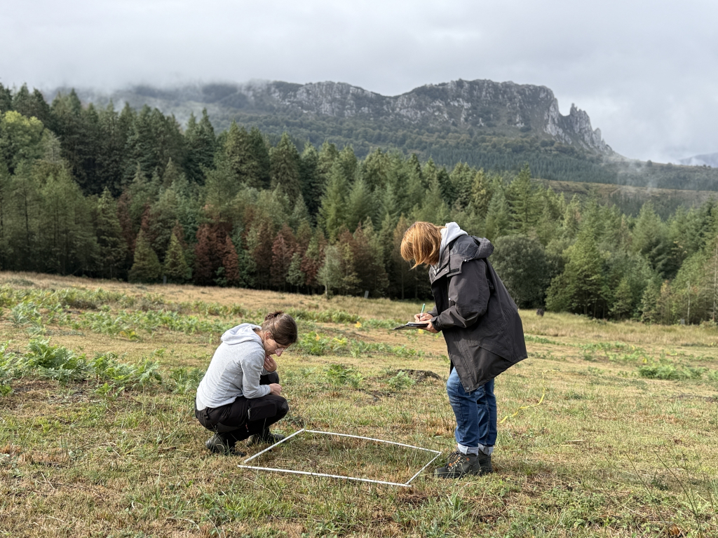
Usability and co-innovation in Living Labs
Beyond environmental and spatial planning considerations, the study includes a comprehensive socio-economic analysis. Through surveys and co-creation initiatives carried out in the Living Labs, the study analyses the initial investment, subscription and maintenance costs against the savings made in the installation of physical fencing and in the time spent by livestock farmers. Similarly, it assesses key aspects for everyday use in mountainous areas, such as network coverage, battery performance and the usability of the digital platform.
About GREENCOOP
GREENCOOP is a European project aimed at mitigating the risk of rural depopulation by integrating agroecological and digital solutions into community-based management models. Through ‘Living Laboratories’ in different regions, the initiative tests various innovations under real-world conditions to enhance the sustainability of agricultural and livestock holdings and the local area, optimise the use of resources and increase the provision of ecosystem services.