NEW
A network of 250 GPS devices to identify areas of health risk in extensive grazing
24 February 2026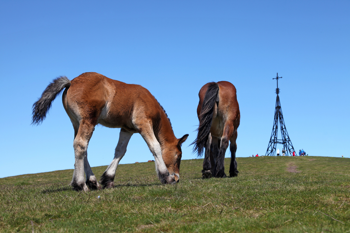
- The NEIKER technology centre is leading a project to identify critical points in Gorbeia where the terrain and natural resources facilitate contact between herds.
- The initiative uses GPS to monitor the animals’ routes, and the information is transferred to a risk map that allows the sector to predict and prevent the spread of disease between herds.
- To transfer this knowledge to the sector, NEIKER is organising technical conferences this week in Segura (24 February), Orozko (25 February) and Zigoitia (26 February).
In extensive grazing systems on publicly owned land, livestock adjust their activity according to the natural architecture of the landscape. The presence of slopes, grazing areas or water sources conditions the movements of the animals and causes herds from different farms to coincide in the same spaces. This concentration of animals at specific points in the mountains increases the likelihood of contact and, as a result, makes it easier for diseases to spread among livestock.
To anticipate this situation, the NEIKER technology centre, an entity dependent on the Basque Government’s Department of Food, Rural Development, Agriculture and Fisheries, is leading a study based on landscape epidemiology.
This methodology makes it possible to identify which natural elements act as meeting points and how they influence animal health by structuring patterns of contact and persistence of pathogens in the environment.
A cooperative solution
The study is being conducted in Gorbeia Natural Park under a Living Lab model, a real-world experimental environment that allows for the capture of ecological processes that cannot be reproduced in a conventional laboratory, such as the coexistence of cows, sheep, mares and goats under natural climate variability. In addition to NEIKER, the Provincial Councils of Álava and Bizkaia, livestock associations, the company Digitanimal, ADR Gorbeialde and LURSAIL are also participating in this framework.
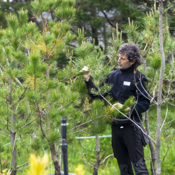
The project is based on a co-design model with the sector, in which the farmers themselves actively participate by providing data obtained from a network of around 250 GPS devices. These devices are placed on so-called ‘lead animals’, specimens that, due to their natural behaviour, set the course and pace for the herd.
‘By monitoring these individuals, we can accurately reconstruct the routes taken by the entire group and detect areas of constant contact that would be impossible to identify through direct observation,’ says Isabel Albizu, a researcher in NEIKER’s Natural Resource Conservation Department.
Identification of critical points
All this information provided by farms is entered into a contagion risk map. This tool makes it possible to identify the areas with the highest probability of transmission, not only between herds, but also between different species, by integrating the behaviour of wildlife (such as wild boars or roe deer) that share the environment.
Analyses carried out to date show that the landscape determines the health risk. ‘For example, flat areas close to tracks make it easier for herds to mix more frequently. Likewise, water points and scrub areas, which animals seek out as thermal refuge and rest areas, are confirmed as key locations for the spread of diseases such as bovine tuberculosis or those transmitted by ticks,’ notes the researcher.
This data allows managers and livestock farmers to make evidence-based preventive decisions, such as redesigning infrastructure, redistributing grazing pressure or planning safe corridors, moving towards a One Health approach where landscape, wildlife and livestock production are analysed as an integrated system.
Technical conferences
To transfer this knowledge to the sector, NEIKER is organising technical conferences this week in Segura (24 February), Orozko (25 February) and Zigoitia (26 February).
The aim of these meetings is to analyse the impact of digitalisation on farm profitability and to present the latest developments in precision tools. In addition, the sessions in Bizkaia and Araba will serve as a meeting point for farmers to hand in the devices from the last campaign so that the necessary maintenance work can be carried out, thus ensuring the continuity of this cooperative health monitoring model.